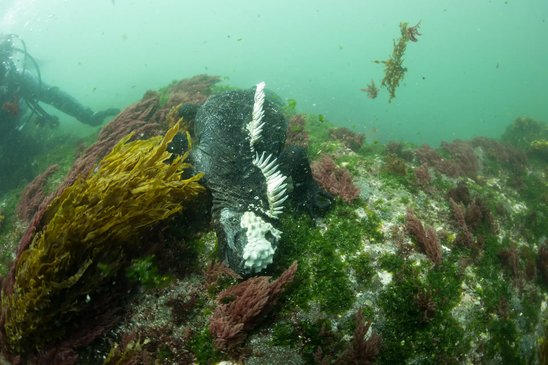
Darwin Island
Ecuador · Galápagos
Darwin is the northernmost island in the Galápagos archipelago and one of the planet's elite shark sites — schooling hammerheads, Galápagos sharks, silkies and whale sharks (in season) move along a single submerged arch. There's no land diving here; access is liveaboard only on a tightly regulated permit system.
Galápagos Marine Reserve
Awarded 2020
How this reef is doing
ⓘ How we measure thisReef state
Surveys at Darwin and Wolf recorded the highest reef fish biomass yet measured on any reef, 17.5 tonnes per hectare, of which 12.4 tonnes per hectare was sharks, the greatest shark biomass on Earth (Salinas de León et al. 2016); the state shown reflects coral under recent heat stress, not the fish community that protection keeps world class.
Coral cover
Fish life
Heat
Hot enough that coral is bleaching now.
Fishing
Quiet water, and fishing is fully banned here.
Sources · Reef survey · NOAA Coral Reef Watch · Global Fishing Watch and reef gravity
Coral cover over time
Live coral cover, by survey year
Across surveys in 2014 and 2024, live coral cover here has fallen from 32% to 27%. Every point is a real survey reading, never a projection.
Live coral cover, percent by year
| Year | Coral cover |
|---|---|
| 2014 | 32% |
| 2024 | 27% |
Fish life over time
Fish seen per survey
Across 8 years of REEF volunteer surveys around Darwin Island (Galápagos), divers have recorded a steady amount of fish per survey. The reef card above has not scored a fish level here yet, so this effort-standardised trend is our read on fish life.
Fish seen per survey, by year
| Year | Density index | Surveys |
|---|---|---|
| 2001 | 2.32 | 12 |
| 2008 | 2.69 | 28 |
| 2010 | 2.27 | 14 |
| 2012 | 2.40 | 13 |
| 2014 | 2.44 | 17 |
| 2017 | 2.32 | 48 |
| 2021 | 2.34 | 24 |
| 2024 | 2.38 | 14 |
What you will see
22 species across the dive sites here
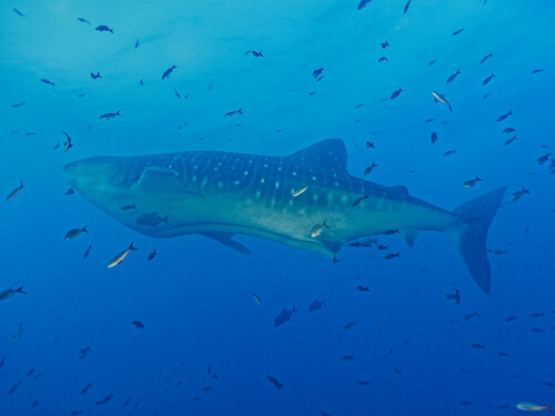
Whale shark
Seen 5 months ago
at Darwin's Arch (The Pillars)
Endangered
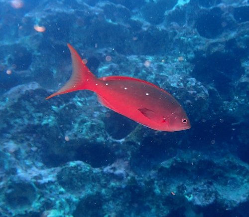
Creole fish
Seen 5 months ago
at Hammerhead Highway
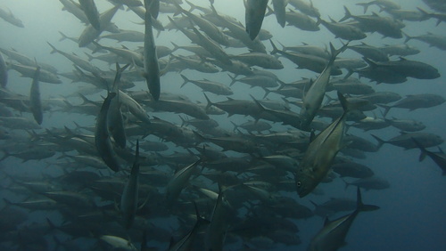
Bigeye jack
Seen 5 months ago
at Hammerhead Highway
Least concern
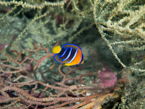
King angelfish
Seen 5 months ago
at Hammerhead Highway
Least concern
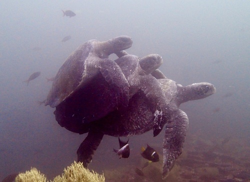
Green Sea Turtle
Seen 6 months ago
at Shark Cathedral
Least concern
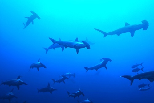
Scalloped hammerhead
Seen 7 months ago
at Darwin's Arch (The Pillars)
Critically endangered
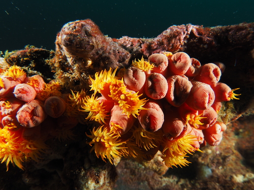
Tubastrea coral
Seen 7 months ago
at Darwin North Wall
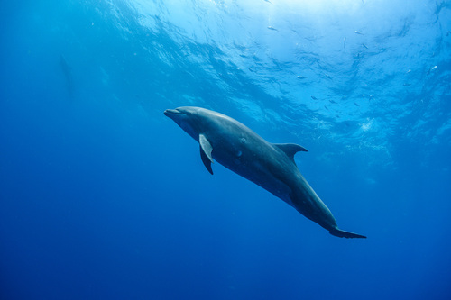
Bottlenose dolphin
Seen 7 months ago
at Darwin's Arch (The Pillars)
Least concern
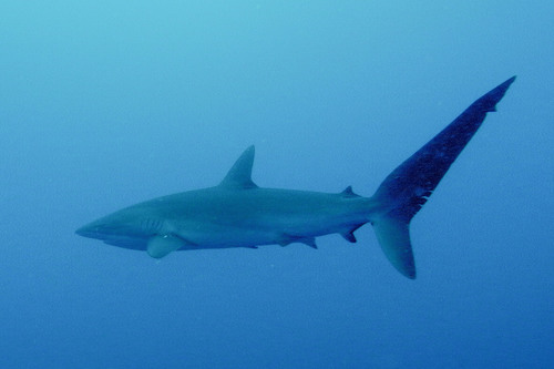
Silky shark
Seen Aug 2025
at Darwin's Arch (The Pillars)
Vulnerable
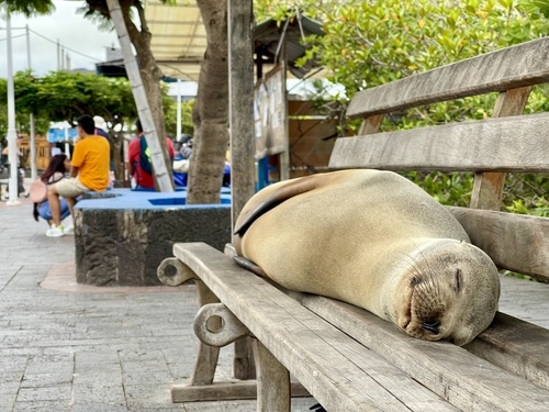
Galapagos sea lion
Seen Aug 2025
at Hammerhead Highway
Endangered
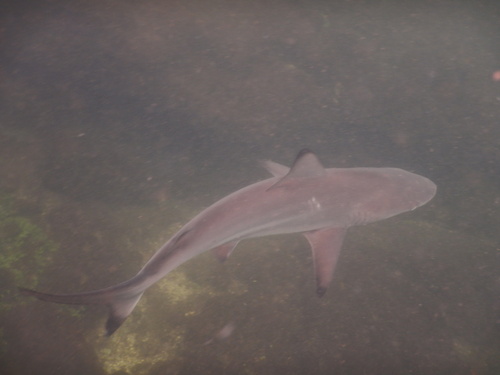
Blacktip Shark
Seen Oct 2024
at Shark Cathedral
Vulnerable
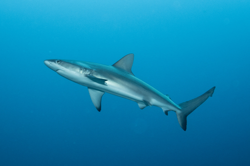
Galápagos shark
Seen Oct 2024
at Darwin North Wall
Least concern
Galapagos shark
Seen Oct 2024
at Darwin's Arch (The Pillars)
Least concern
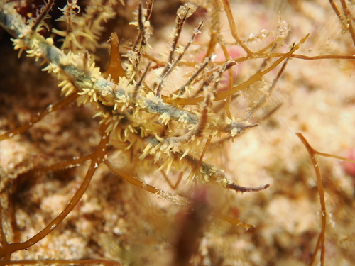
Black coral
Seen year round
at Darwin North Wall
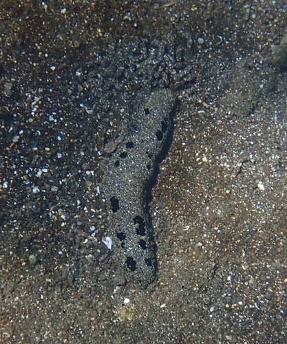
Black sea cucumber
Seen year round
at Hammerhead Highway
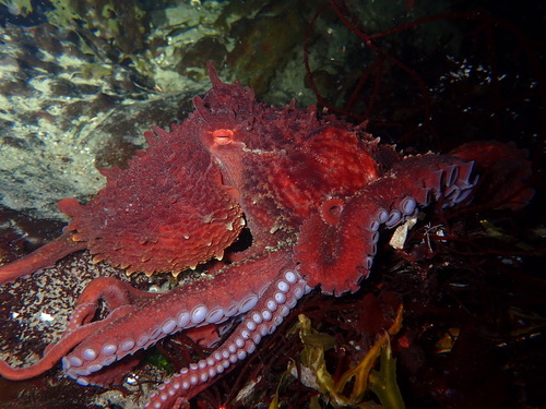
Reef octopus
Seen year round
at Darwin North Wall
Least concern
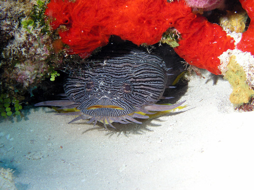
Splendid toadfish
Seen year round
at Darwin North Wall
Endangered
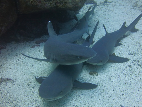
Whitetip Reef Shark
Seen year round
at Shark Cathedral
Vulnerable
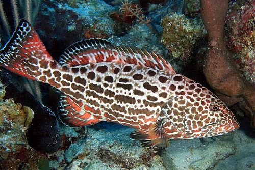
Yellowtail grouper
Seen year round
at Darwin North Wall
Near threatened
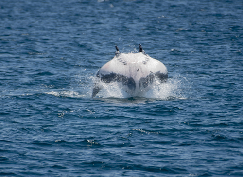
Manta ray
Seasonal visitor
at Darwin North Wall
Ocean Sunfish
Seasonal visitor
at Shark Cathedral
Vulnerable
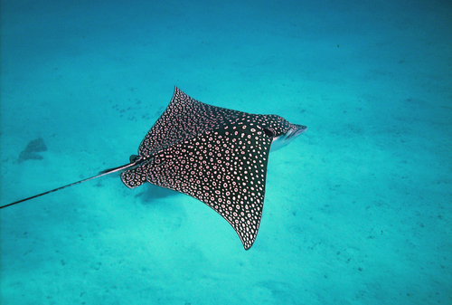
Spotted eagle ray
Seasonal visitor
at Hammerhead Highway
Endangered
Dive sites
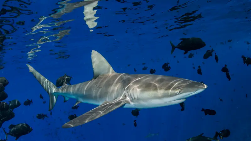
Darwin's Arch (The Pillars)
scalloped hammerhead · whale shark · galapagos shark · silky shark
Darwin North Wall
whale shark · scalloped hammerhead · galápagos shark · silky shark
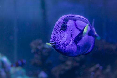
Hammerhead Highway
scalloped hammerhead · galápagos shark · bigeye jack · whale shark
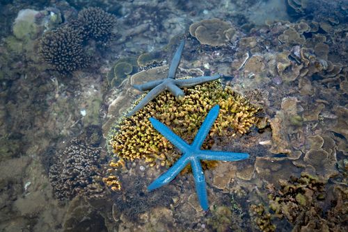
Shark Cathedral
scalloped hammerhead · galápagos shark · whitetip reef shark · ocean sunfish
What divers say
Hooked into the reef at Darwin's Arch with a wall of hammerheads above me, I forgot to breathe for a second. That's not a metaphor.
Good to know
Permit limits
Only a handful of vessels are permitted at Darwin/Wolf. Book 12–18 months ahead.
Arch collapse
The iconic arch collapsed in 2021. The dive site is unchanged; the silhouette isn't.
Park fee
$200 cash on arrival + transit card. Bring USD.
Gear & getting wet
Basic kit
For specific sites